The course is hard to explain
A printed plan does not clearly convey distances, hazards, services and context.
Present holes, distances, hazards, services and operations on a georeferenced interactive map.

Every operation has its own variables, but they all need to understand what is happening, where it is happening and how to share it.
A printed plan does not clearly convey distances, hazards, services and context.
Holes, facilities, maintenance and points of interest are often checked in different tools.
Players, visitors and staff need different levels of information about the same course.
Identifying incidents and work areas requires a shared spatial reference.
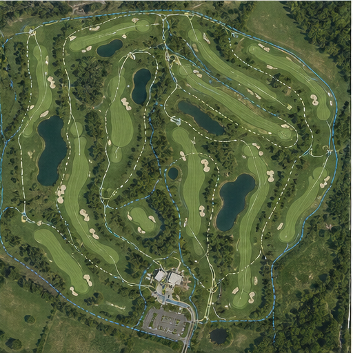 Information on the territory
Mapio turns the course into a visual guide that can adapt to the visitor experience and to the team's internal needs.
The experience and the tools are configured around what your team needs to review and communicate.
Present holes, distances, hazards, tips and services.
Locate irrigation, greens, facilities, incidents and work areas.
Share routes, points of interest and special experiences across the course.
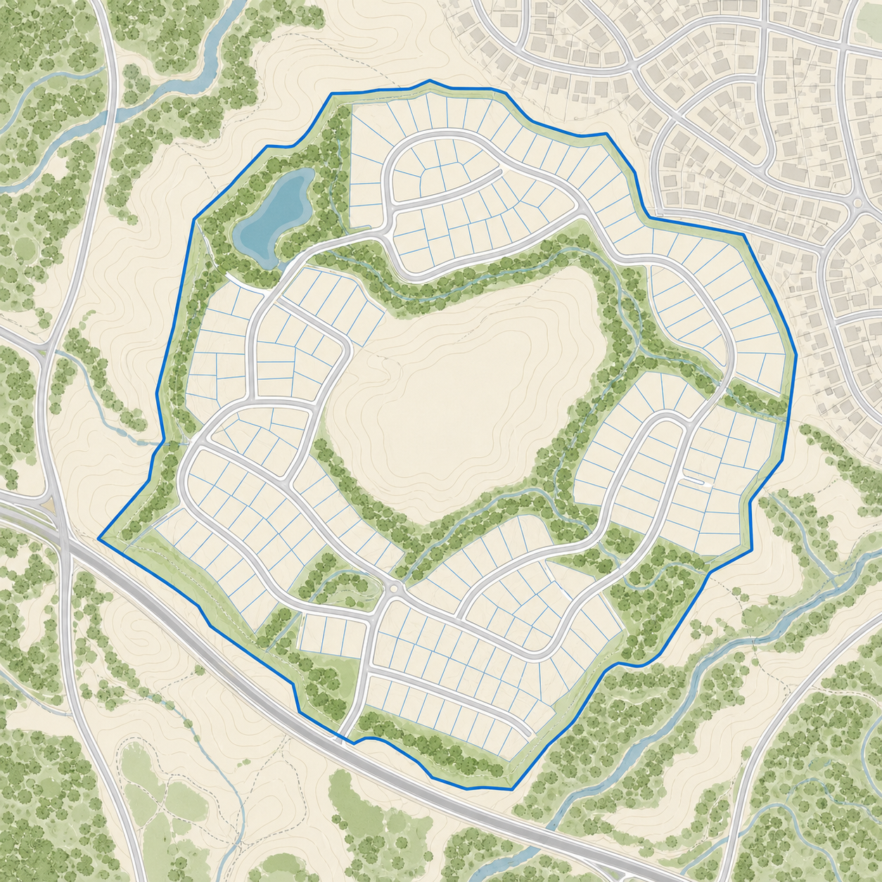
GPS lets the player, visitor or operations team recognize their position on the course and relate it to the corresponding hole, route, service or work area.
Mapio ships ready to use. Add-ons layer in new experience, capture and integration capabilities without switching platforms.
Embed immersive panoramas and points of interest inside the map to showcase amenities, facilities, views or key spaces.
Add a precise, up-to-date aerial image of the site, captured by drone and prepared to work as the visual base of the project.
Connect Mapio to Zoho, HubSpot or your own system via API to sync leads, activity and sales processes.
Add buildings, terrain and three-dimensional models to understand volume, context and architecture right on the map.
We create a solution with the layers, content and tools your course actually needs.
Share your plans, data and needs. We propose a concrete solution.
Contact us