Optional module
360° tours + POIs
Embed immersive panoramas and points of interest inside the map to showcase amenities, facilities, views or key spaces.
The ease of Google Maps, with the information, tools and real context of your project.
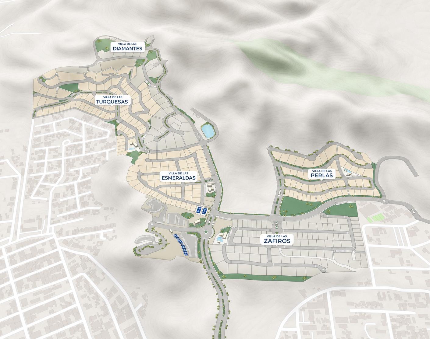
You don't have to learn cartography or configure a generic tool. We understand your project, organize the information and build the experience.
Mapio adapts to the information, people and processes of each operation.
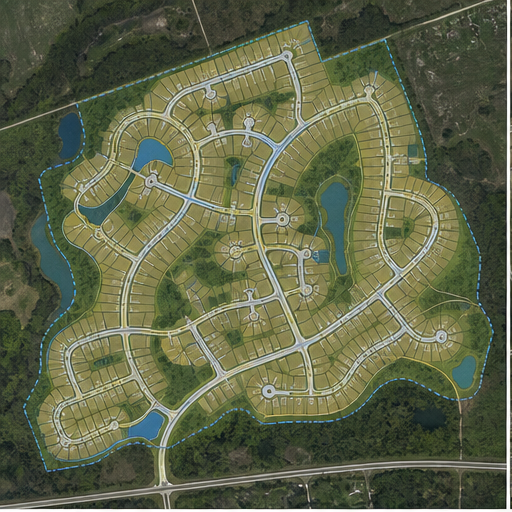
Lots, inventory, pricing and sales.
Learn more →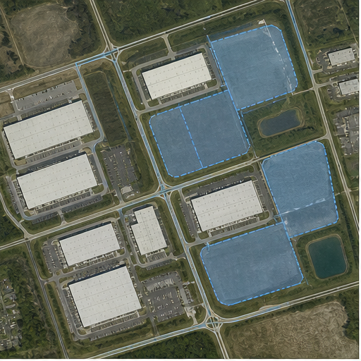
Availability, specifications and investment.
Learn more →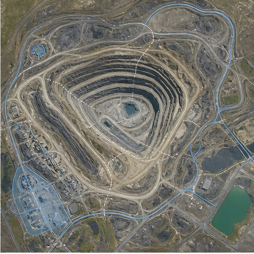
Infrastructure, zones, assets and progress.
Learn more →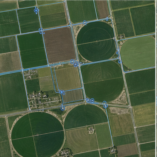
Plots, crops, infrastructure and tracking.
Learn more →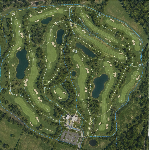
Tours, holes, services and operations.
Learn more →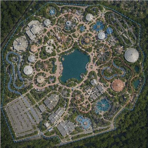
Attractions, stages, routes, services and operations.
Learn more →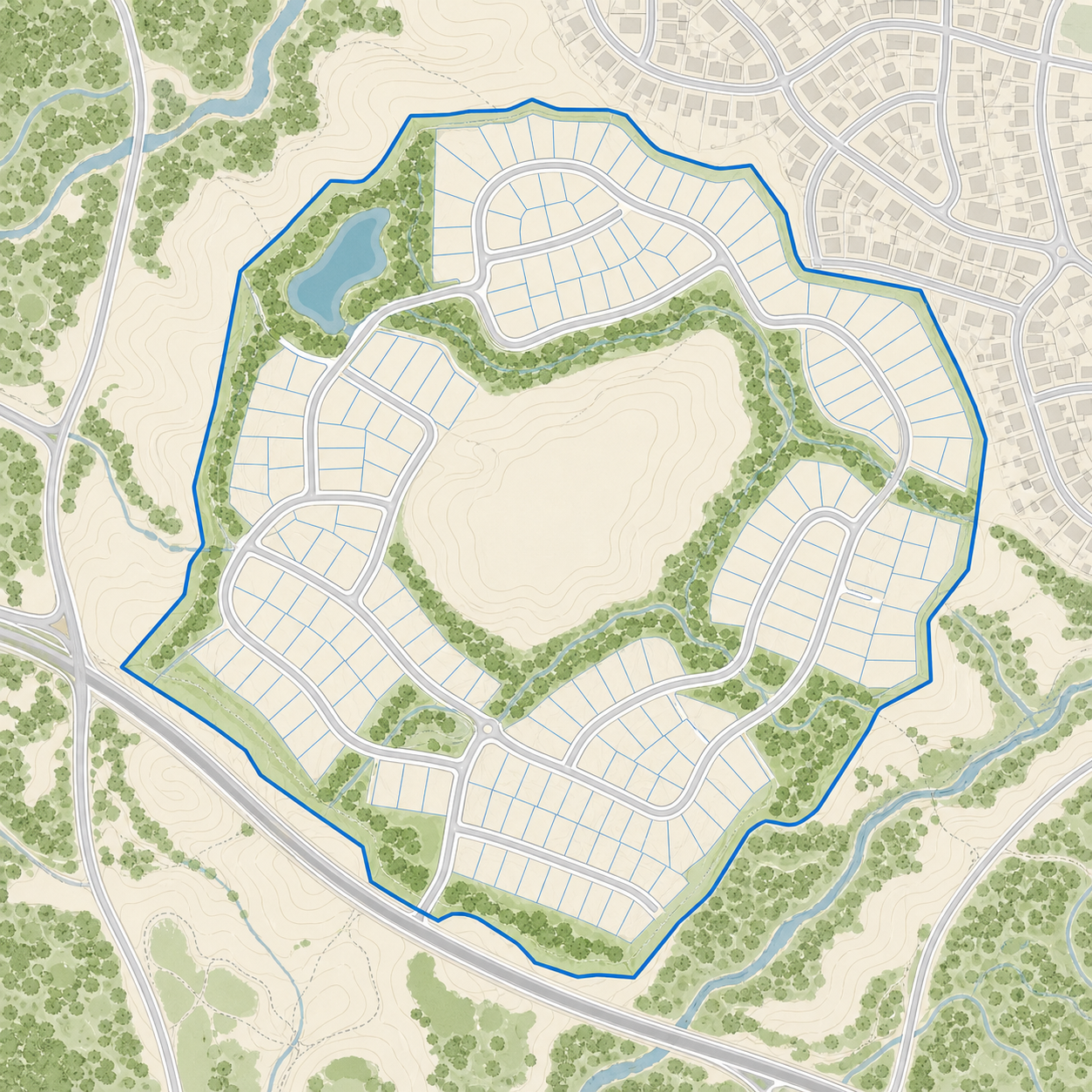
Mapio places your plan over its real location on the territory. When you open it from your phone, GPS shows your position within the project and connects what's in front of you with the map's information.
Mapio ships ready to use. Add-ons layer in new experience, capture and integration capabilities without switching platforms.
Embed immersive panoramas and points of interest inside the map to showcase amenities, facilities, views or key spaces.
Add a precise, up-to-date aerial image of the site, captured by drone and prepared to work as the visual base of the project.
Connect Mapio to Zoho, HubSpot or your own system via API to sync leads, activity and sales processes.
Add buildings, terrain and three-dimensional models to understand volume, context and architecture right on the map.
Tell us what you have and what you need to achieve. We propose a concrete solution for your project.
Contact us