Information is scattered
Plots, crops, irrigation, roads and records usually live in separate files.
Organize plots, crops, infrastructure, routes and tracking into a georeferenced experience that is easy to review from the office or the field.
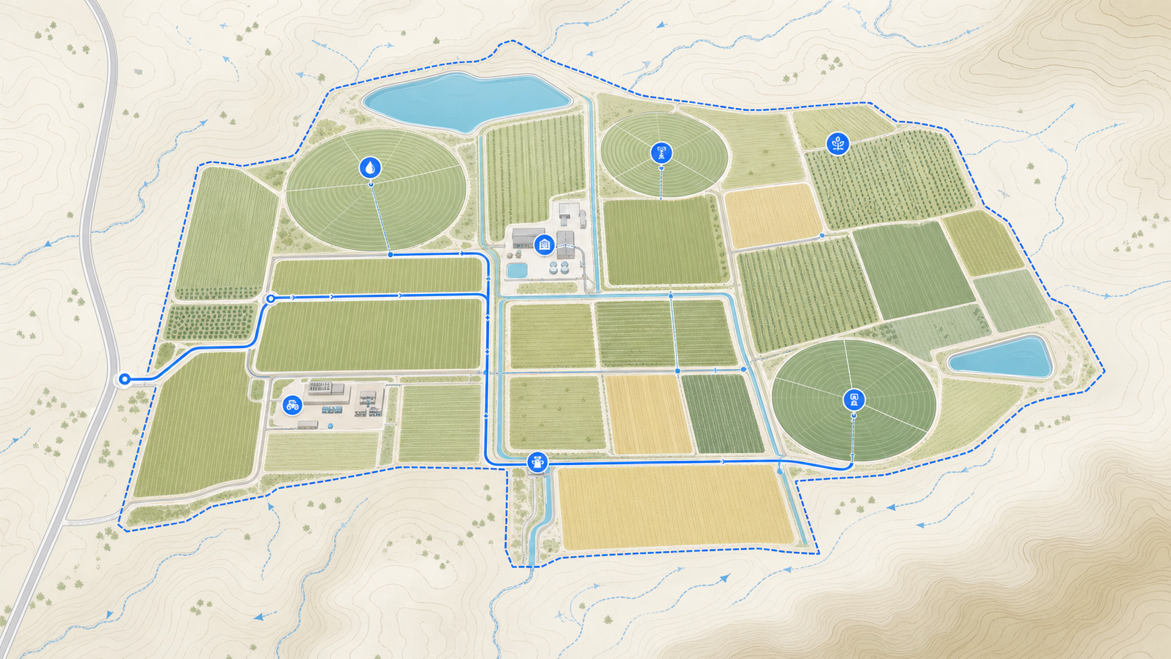
Every operation has its own variables, but they all need to understand what is happening, where it is happening and how to share it.
Plots, crops, irrigation, roads and records usually live in separate files.
A table can record data, but it does not show where each condition or activity happens.
Cycles, incidents and tasks need a territorial reference that can be kept up to date.
Without a shared map, locating sectors, infrastructure or points of attention relies on explanations.
 Information on the territory
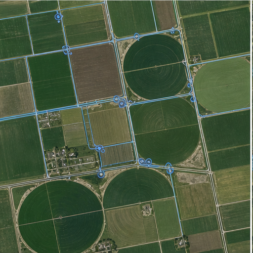
Mapio turns plans, orthophotos and records into a shared territorial reference. Each polygon or point can gather the information needed to understand and follow up on the field.
The experience and the tools are configured around what your team needs to review and communicate.
Review boundaries, areas, crops, owners and documentation per productive unit.
Locate wells, valves, canals, lines, roads, warehouses and maintenance points.
Link incidents, evidence, tasks and observations to their real location.
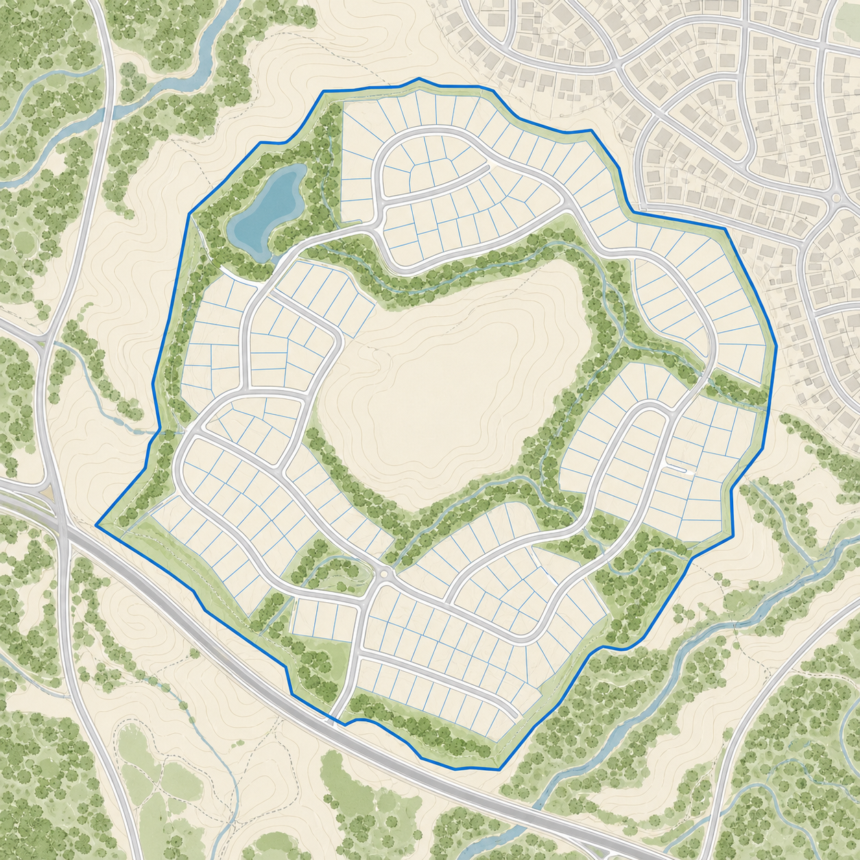
During a visit, GPS lets you recognize the plot, sector, irrigation line or point of attention in front of you and check its information without relying on approximate references.
Mapio ships ready to use. Add-ons layer in new experience, capture and integration capabilities without switching platforms.
Embed immersive panoramas and points of interest inside the map to showcase amenities, facilities, views or key spaces.
Add a precise, up-to-date aerial image of the site, captured by drone and prepared to work as the visual base of the project.
Connect Mapio to Zoho, HubSpot or your own system via API to sync leads, activity and sales processes.
Add buildings, terrain and three-dimensional models to understand volume, context and architecture right on the map.
We build the map around your plots, processes, layers and tracking needs.
Share your plans, data and needs. We propose a concrete solution.
Contact us